On this page
Ocean currents form because forces act on seawater and because pressure is not the same everywhere in the ocean. Wind supplies much of the momentum that drives large surface circulations. Earth’s rotation redirects moving water, continents and seafloor topography constrain its path, and temperature and salinity differences help create pressure gradients within the ocean.
No one of these ingredients explains every current. The Kuroshio, an equatorial upwelling current, a deep boundary current, and a reversing tidal current are different kinds of motion with different balances of forces.
A Current Is More Than Water Following the Wind
A current is a persistent movement of seawater. To understand why it flows in a particular direction, it helps to separate two questions:
- What starts or maintains the motion?
- What redirects and organizes that motion after it begins?
Wind stress, gravity acting on a sloping sea surface, and pressure differences inside the ocean can accelerate water. The Coriolis effect does not start a current by itself. It changes the path of water that is already moving, deflecting it to the right in the Northern Hemisphere and to the left in the Southern Hemisphere.
The result is usually a balance rather than a single push. NOAA’s overview of what causes ocean currents identifies wind, density differences, gravity, and tides as major causes, while its Coriolis Effect tutorial explains how rotation changes large-scale motion.
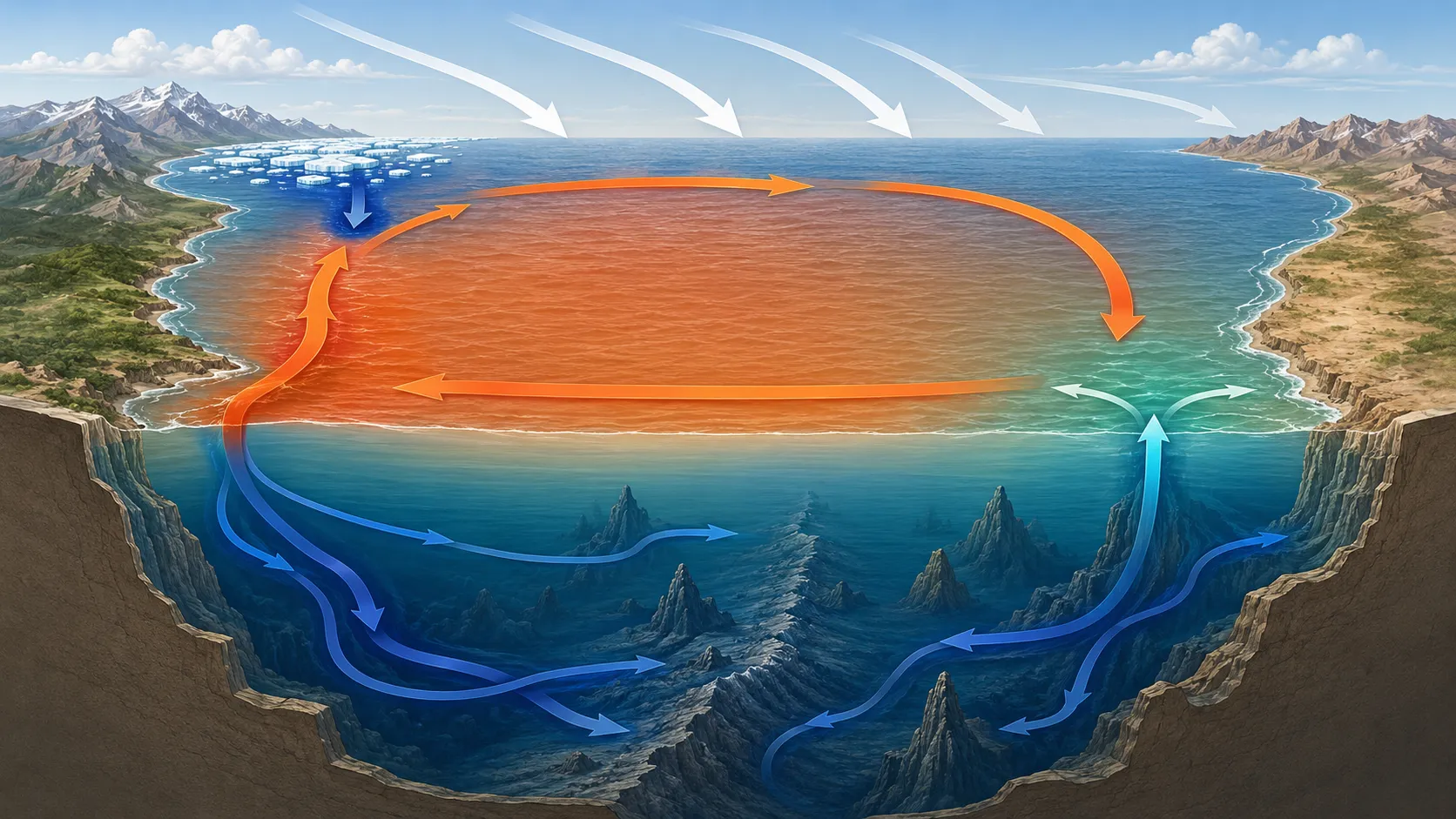
The schematic cutaway below separates a wind-driven surface gyre from high-latitude sinking, branching deep flow, and coastal upwelling.
Wind Drives Much of the Surface Circulation
Wind transfers momentum to the sea through friction at the surface. Persistent trade winds and westerlies therefore help drive broad currents across entire ocean basins.
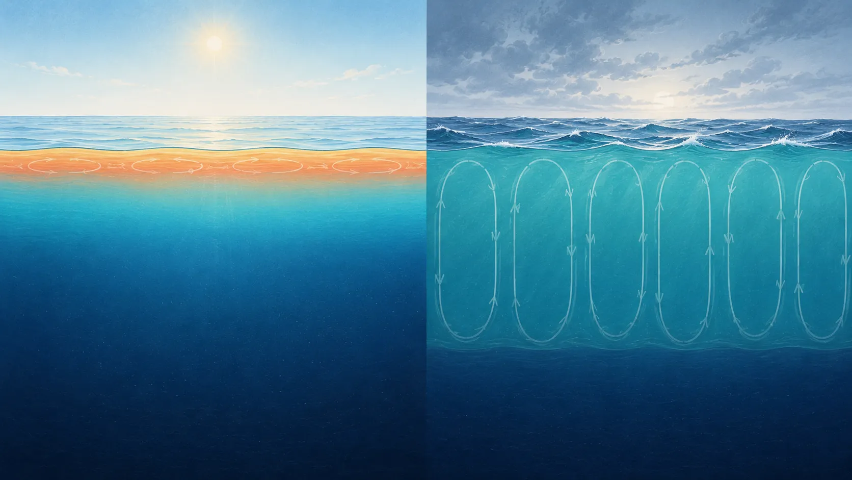
The surface water does not simply move in the same direction as the wind. Rotation turns the response, and the influence is transmitted downward through the wind-driven layer. Where that transport moves surface water apart, colder water can rise from below in upwelling. Where surface water converges, water is pushed downward.
Ocean Upwelling and Nutrient Supply compares coastal and equatorial upwelling and connects the movement of water with temperature and nitrate profiles.
On the scale of an ocean basin, prevailing winds, rotation, and continental boundaries organize currents into large circulations called gyres. The Japan Meteorological Agency’s overview of ocean circulation shows how this wind-driven circulation produces a clockwise subtropical gyre in the North Pacific.
Why western boundary currents become strong
Because the influence of Earth’s rotation changes with latitude, the broad interior flow cannot close the gyre symmetrically. A narrow boundary layer on the west provides the return flow needed to balance the wind-driven circulation.
The resulting current is relatively narrow and fast. This western intensification produces currents such as the Kuroshio in the North Pacific and the Gulf Stream in the North Atlantic.
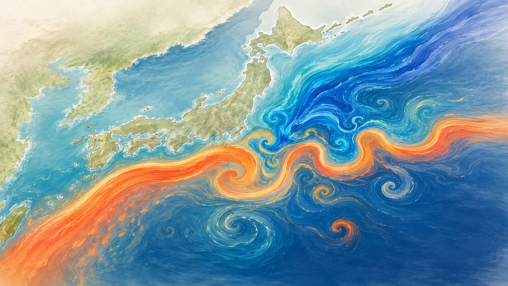
That explains why the Kuroshio cannot be described as warm water simply spreading northward. It is one part of a basin-scale wind-driven circulation whose path and strength are also shaped by rotation, pressure gradients, boundaries, and eddies.
For the water-property contrast around Japan, continue with Kuroshio and Oyashio Below the Surface.
Temperature and Salinity Help Drive Interior Circulation
Water density changes with temperature, salinity, and pressure. At the same pressure, colder water is generally denser than warmer water, and saltier water is generally denser than fresher water.
Cooling, evaporation, rainfall, river input, sea-ice formation, and melting can therefore alter the buoyancy of surface water. In some high-latitude regions, surface water becomes dense enough to sink and contribute to the formation of deep or intermediate water masses. Once below the surface, these waters spread through the ocean interior.
This is often called density-driven or thermohaline circulation, but the name can be misleading if it suggests that density differences act alone. Deep currents still respond to pressure gradients, Earth’s rotation, friction, and seafloor topography. The global overturning circulation is not one rigid conveyor belt following a single closed path.
How Temperature and Salinity Shape Seawater Density explains the density relationship that underlies this part of the circulation.
Tidal Currents Are a Different Kind of Motion
The gravitational pull of the Moon and Sun produces tides. As sea level rises and falls, water also moves horizontally, creating tidal currents. These currents are especially noticeable near coasts, in straits, and around islands, where topography can accelerate the flow.
Unlike a major current that keeps the same broad direction over long periods, a tidal current commonly reverses on a predictable cycle. Wind-driven circulation, density-related circulation, and tidal currents can all be present in the same region.
What Temperature and Salinity Profiles Reveal
An ocean current transports heat, salt, oxygen, nutrients, and water masses. A vertical profile can therefore show a current’s water-property signature even when it does not measure current speed.
Profiles on opposite sides of a front may differ in:
- The thickness of the warm upper layer
- The depth and strength of the thermocline
- Subsurface salinity maxima or minima
- Dissolved oxygen, when suitable BGC measurements are available
An Argo Trajectory Is Not a Surface-Current Track
A standard Argo float spends most of a roughly ten-day cycle below the surface, commonly drifting near 1,000 meters before profiling from around 2,000 meters. The International Argo Program describes that sequence in How do floats work?.
The line between successive surface positions therefore combines subsurface drift, the profiling ascent, time at the surface, and the sampling interval. It can show where the float traveled, but it should not automatically be read as the path or speed of the surface current.
Oceanographers can estimate aspects of flow from float displacement when the mission timing and drift depth are handled carefully.
Explore Current-Related Structure in OceanGraph
Compare profiles to examine the properties of water transported by currents:
- Choose a limited region and date range near a known current or front.
- Compare several temperature profiles collected during a similar period.
- Check whether salinity changes at the same depths.
- View the float trajectory to understand how the sampling location moved.
- Use a θ-S diagram when you need to compare water-property combinations.
The Search and Bookmark guide explains the geographic and date controls. The Trajectory and Time-Series Vertical Section guide describes how the trajectory and repeated profiles are connected.
If you are new to vertical structure, How Does the Ocean Change With Depth? provides the foundation for reading the profiles before relating them to circulation.